Innovative solutions in 3D scanning and engineering modeling
Good afternoon dear colleagues and customer representatives! We are glad to welcome you at the presentation of the company «3DSC», a provider of services in the field of laser 3D scanning and engineering modeling
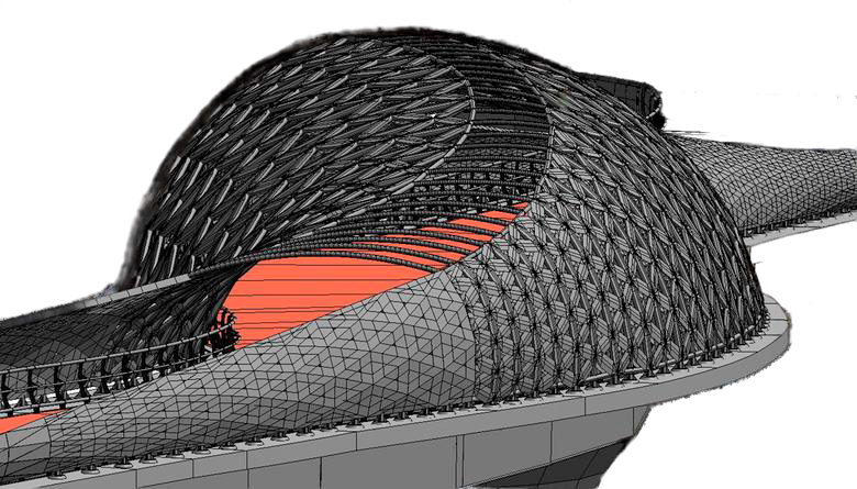
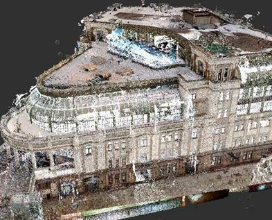
Modeling in AutoCAD, ArchiCAD , Revit, 3D Max
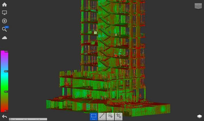
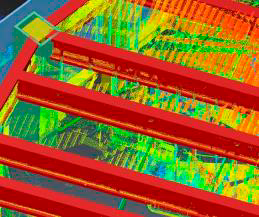
Stitching, cleaning and equalization of raw point cloud data
We perform comprehensive point cloud processing
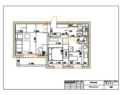
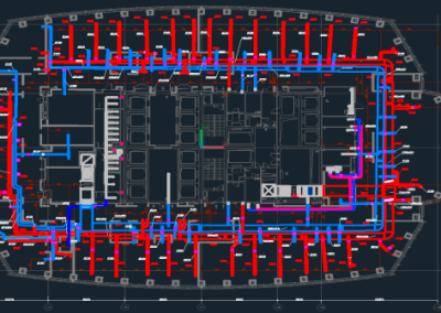
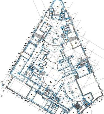
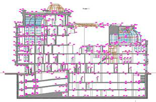
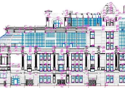
Dimensional drawings
Provide detailed measured drawings that meet the highest standards of industrial safety and efficiency
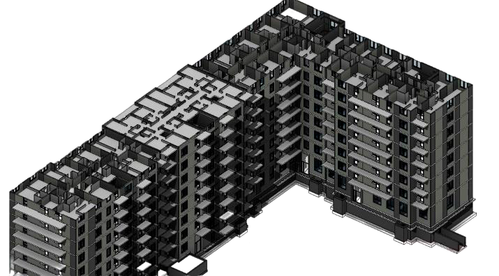
BIM (Building Information Modeling)
An integrated approach to design and management. At Scan3d, we give top priority to the use of Building Information Modeling (BIM) in our projects. BIM is an integrated approach to design, construction and facility management that ensures efficiency and transparency at all stages of the project life cycle
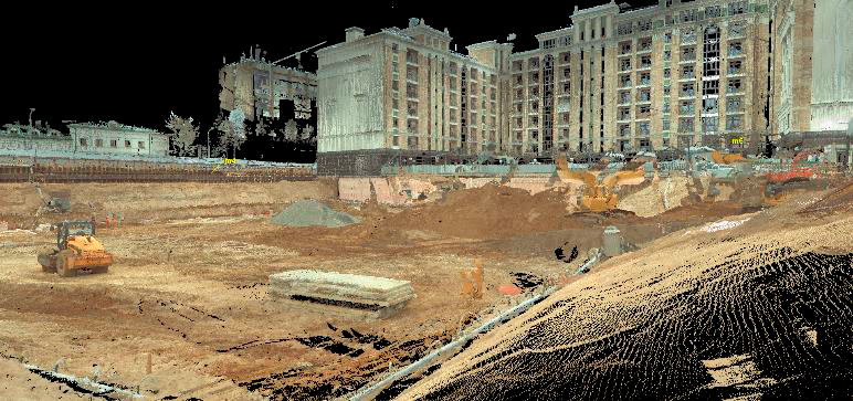
Calculating excavation and embankment volumes
Our experts use laser scanning and aerial photography data to accurately calculate volumes, ensuring optimized processes
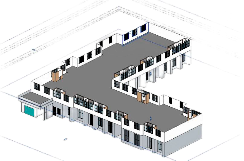
Specification for the volume of materials
We provide detailed specifications for buildings and structures, ensuring compliance with the design parameters
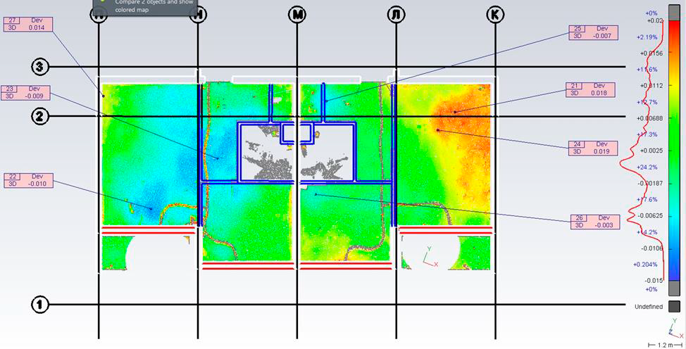
Geodetic control
We compare the actual completed work for deviations with the design model, ensuring consistency and quality
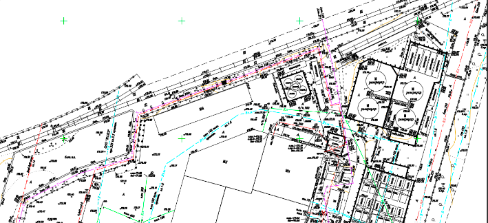
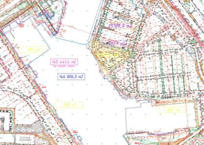
Creating topographic plans
We provide accurate topographic plans based on point cloud
Equipment fleet for measurement and BIM tasks
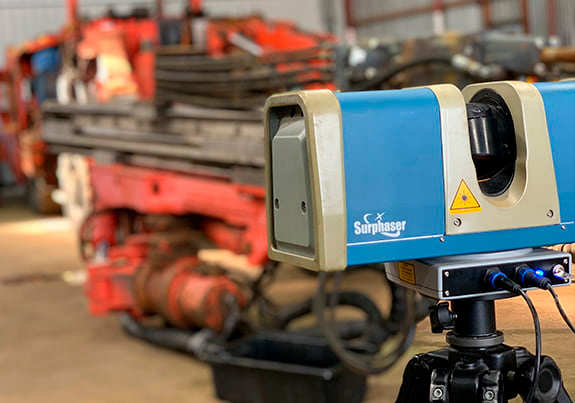
SURPHASER HSX 25
One HIGH PRECISION GROUND SCANNER SURPHASER HSX 25
Accurate to 0.3 mm for capturing complex architectural elements and details.
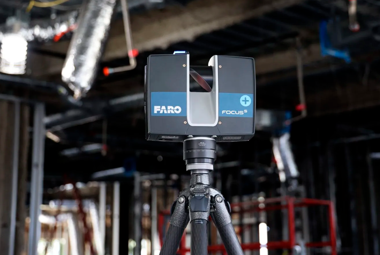
FARO S SERIES
6 FARO S SERIES GROUND SCANNERS (S70, S150)
1 mm accuracy at 25 m, high quality HDR camera, scanning range up to 150 m.
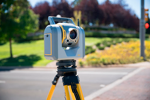
TRIMBLE SX10
1 TRIMBLE SX10 LONG RANGE SCANNER
with a scanning range of 600 m and an accuracy of 1.5 mm at 120 m.
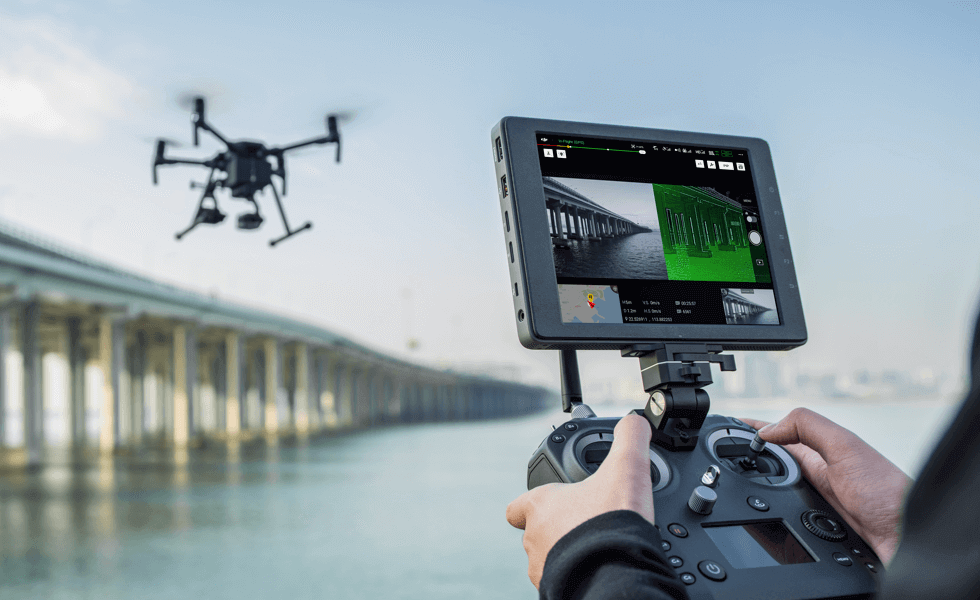
DJI MATRICE 200
1 DJI MATRICE 200 QUADROCOPTER
with airborne scanner on board, scanning range 100 m with 3 5 cm accuracy.
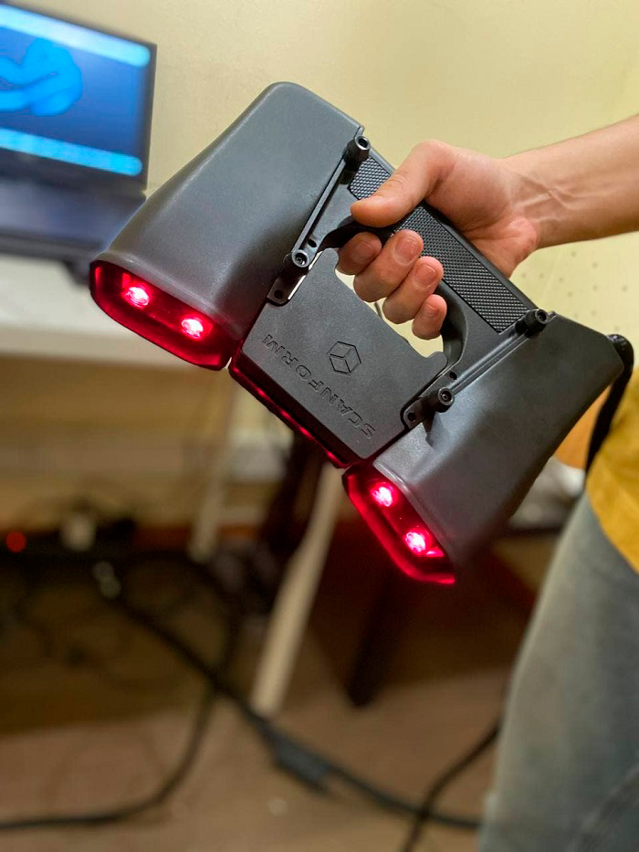
SCANFORM
1 SCANFORM HANDHELD SCANNER
high precision submillimeter
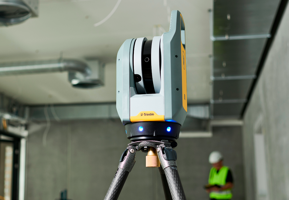
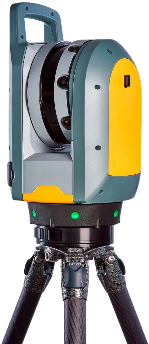
TRIMBLE X7
5 TRIMBLE X7 GROUND SCANNERS
with an accuracy of 3 mm at 25 m, 3 cameras that make fast photopanoramas and the possibility of automatic stitching in the field of scanning results.
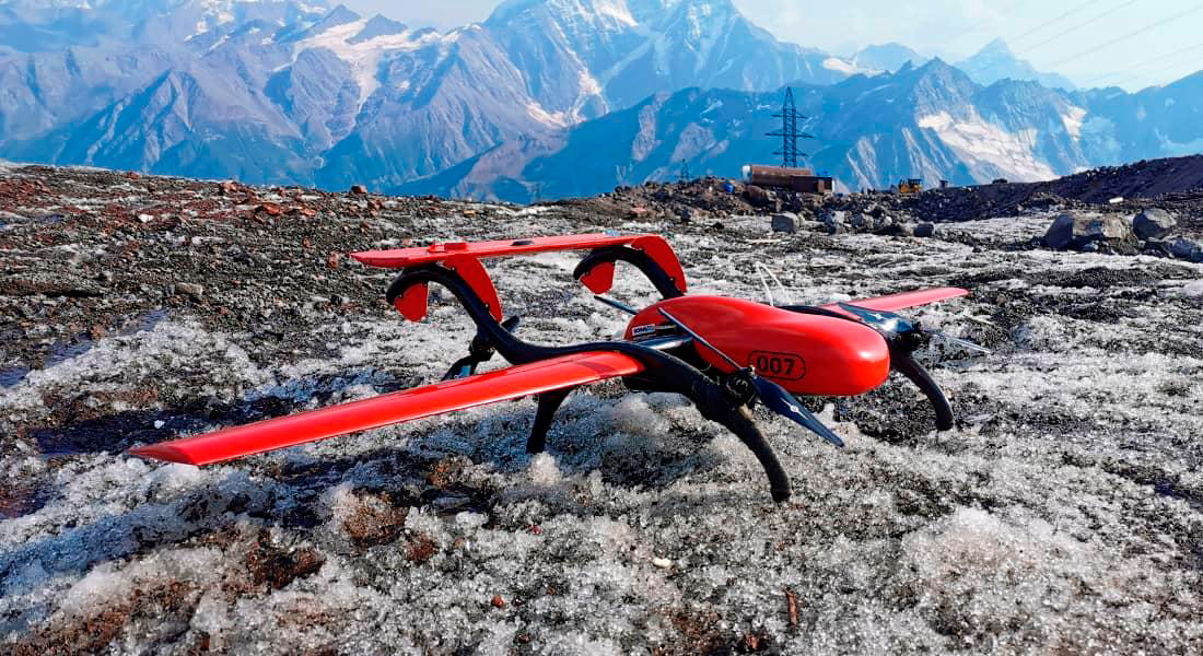
FIXAR 007
1 FIXAR 007 DRONE for aerial photography of large areas up to 100 hectares in 1 flight.
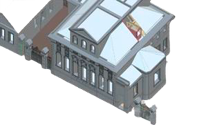
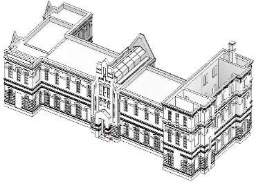
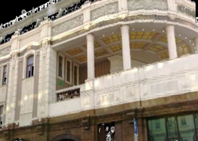
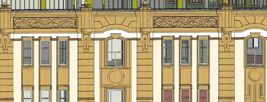
Restoration and reconstruction of the house
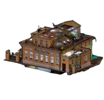
PROJECT OBJECTIVE
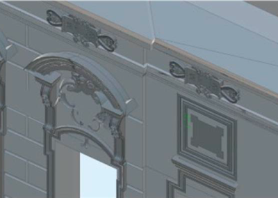
Obtain a digital twin of the cultural heritage object with
stucco elements to restore the exact geometry in case
it is disturbed during restoration works
RESULT
Highly accurate BIM model of the building
Further Usage
Building maintenance (cost optimization) Preservation
of cultural heritage for centuries.
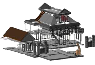
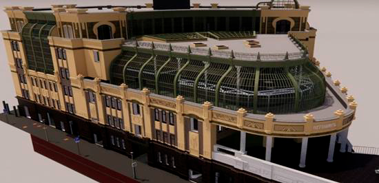
Scanning and 3D modeling of the manor house
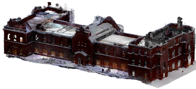
PROJECT OBJECTIVE
Obtaining an actual BIM model for restoration works and implementation of new design solutions
RESULT
BIM model of the building of LOD200 detailing
FURTHER USAGE
Preservation of cultural heritage. Redevelopment, any design solutions, implementation
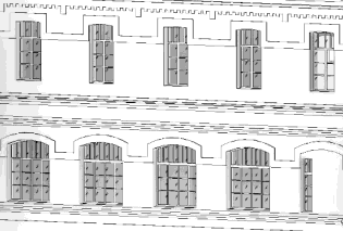
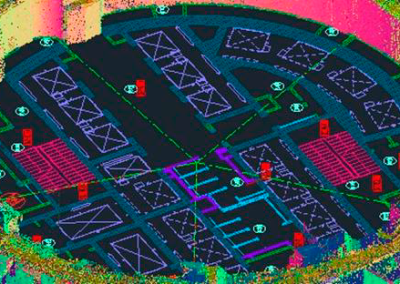
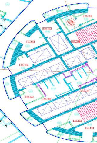
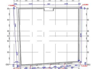
Scanning and generation of executive drawings
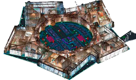
PROJECT OBJECTIVE
Obtaining executive drawings (actual floor plans) after finishing works are completed.
RESULT
Point cloud of rooms and executive drawings (actual floor plans and sweeps of all walls with openings) made by scanning and showing deviations from the project.
FURTHER USAGE
Executive drawings at handover to the customer. Estimating. The point cloud can be used to build an actual BIM model of the building for ease of use throughout the entire life cycle
Facade survey of a future residential building of complex geometry
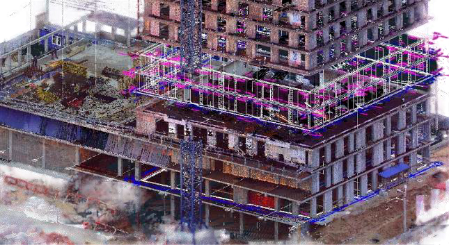
PROJECT OBJECTIVE
- Execution drawings at handover to the customer
- Ventilated facade installation
RESULT
Obtaining drawings for the installation of ventilated facades with an accuracy of no more than 1 cm
FURTHER USAGE
Point cloud of the structure and executive drawings of the monolithic part of the structure with cross sections for each floor
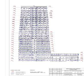
Formation of executive drawings of all sections of the Tower
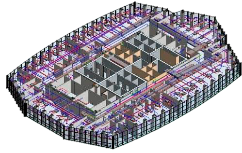
PROJECT OBJECTIVE
Formation of execution drawings of all sections in the process of finishing works, calculation of exact volumes of materials used
RESULT
Executive drawings for all sections (AR, VK, OV, AUP, etc.)
FURTHER USAGE
- Calculating an accurate estimate for all types of work performed
- Formation of Revit model for easy further operation of the building
- Formation of 3D model for design tasks in the course of finishing
- Building Control
Scanning and modeling of the cottage facade
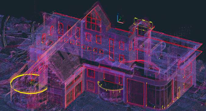
PROJECT OBJECTIVE
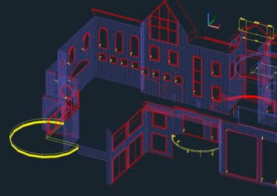
Obtaining the exact geometry of the building facade for the tile layout project
RESULT
Highly accurate 3D model in dwg format, divided into a grid of squares 300×300 mm
FURTHER USAGE
- Formation of an accurate estimate of any cladding material
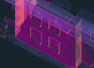
- A visual map of deviations from the plane for each wall, which will help during installation, due to the thickness of glue or mortar can be corrected problem areas
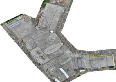
Creation of orthophoto of the Shopping Complex with adjacent parking lot
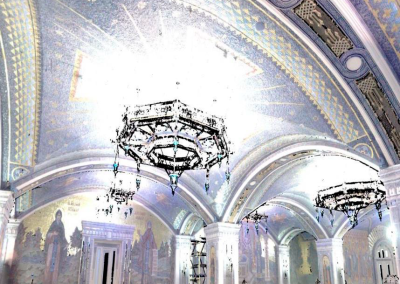
Scans and measured drawings of the Cathedral

PROJECT OBJECTIVE
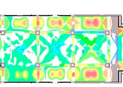
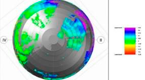
Obtain deviations of the actual position of ceiling vaults from the design position
RESULT
Point cloud, color deviation map and drawings in dwg format
FURTHER USAGE
- Accurate calculation of the estimate of the completed work on finishing the ceiling of complex geometry
- Building control
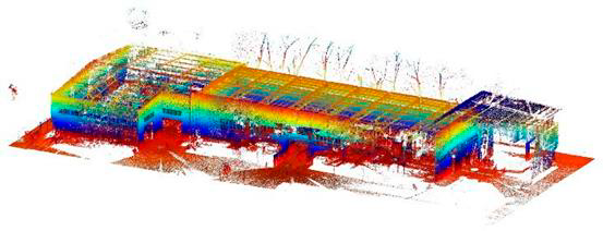
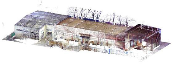
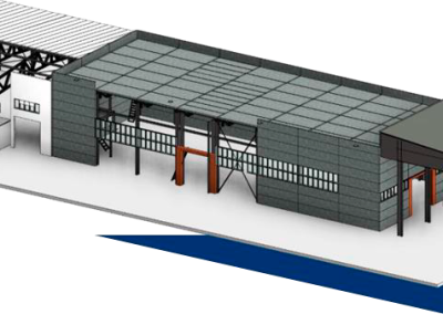
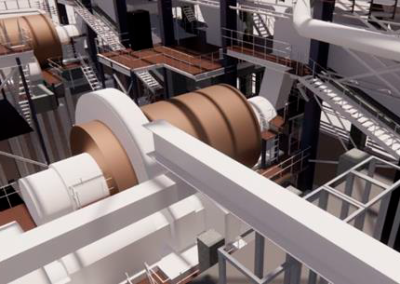
BIM model of an elevator plant
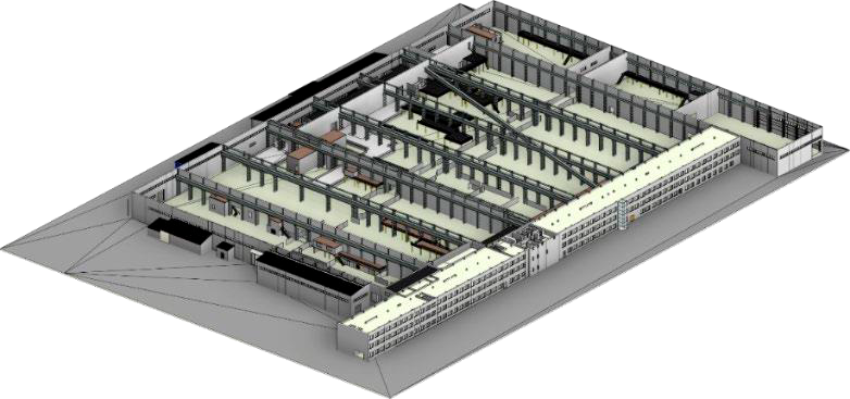
PROJECT OBJECTIVE
Obtaining an actual high precision digital twin for plant design and reconstruction
RESULT
Actual BIM model with classification and attributes
FURTHER USAGE
- BIM design for renovation purposes
- Operation after commissioning of the renovated plant
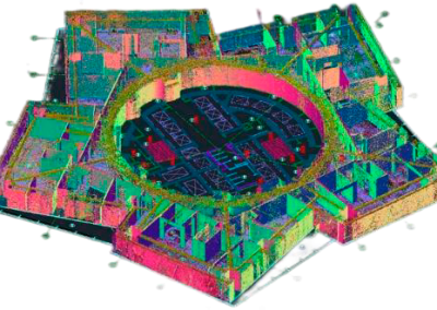
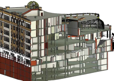
Laser scanning and BIM modeling of the building
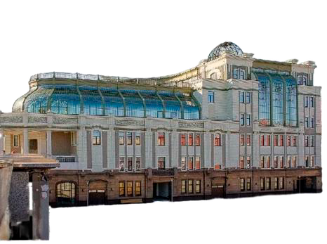
PROJECT OBJECTIVE
Laser scanning of the building with subsequent drawing creation
BIM model creation
Erstellung von Ausführungszeichnungen für alle Abschnitte des Turms
The composition of objects to be modeled and to be dismantled was not determined at the
start of the project, but was formed in the process of survey work
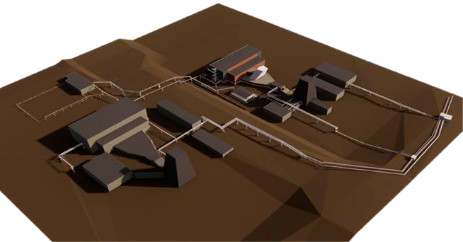
PROJECT OBJECTIVE
- Reconstruction design in Autodesk Revit BIM environment
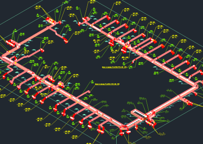
- The reconstruction project included a set of structures and overpasses for technical reconstruction, as well as part of the buildings and process equipment to be dismantled according to to the results of the survey
RESULT
- Actual REVIT model
- Set of drawings
- As well as completed specifications and equipment grades obtained because of the survey
PROGRESS OF WORK
The task was to obtain models and point clouds in real coordinates of the local geodetic network. For transformation we used geodetic equalized point cloud frame obtained with Trimble SX 10 scanning total station. The use of such methodology allows not only to realize georeferencing to the coordinate system, but also when using an accurate frame it allows to avoid the accumulated error that appears when point clouds are stitched together by overlapping. Further, the received point clouds were processed in Autodesk Revit program complex with the use of Faro as Built for Revit partial automation tools. Measurements made in Autodesk AutoCAD environment were used to generate dismantling sheets.
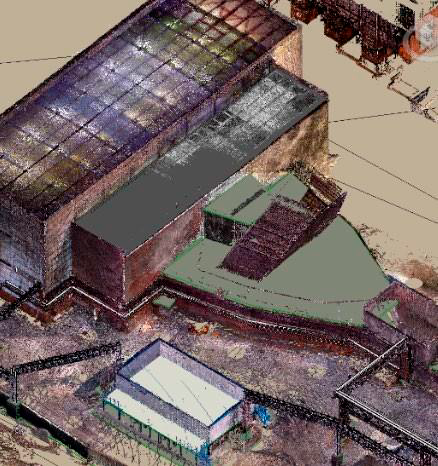
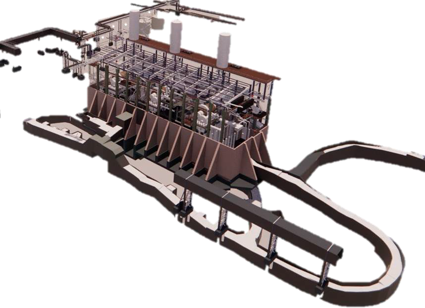
With the help of survey and work with archive materials, data on used materials, grades and purpose of building elements and network engineers obtained. These data reflected in the model, as a result the model is a kind of data about the object, but presented as a three dimensional model. The team of the design institute based on this model developed and implemented their design solutions in BIM environment.

Trial project
We are confident in the quality of our services, so we offer you a unique opportunity a trial project on a free basis. Let us demonstrate our capabilities and convince you of the effectiveness of cooperation with «3DSC»

Completion and contact information
«3DSC» is your reliable partner in the field of engineering modeling. We are ready to support you at every stage of the project, providing the highest standard of quality and professionalism. Thank you for your attention! Ready to answer your questions

